Second storm arrives Friday night, Flood Watch for Southern Santa Barbara County
Storm Update - Friday, November 14 - 2:45 p.m.
A series of storms is progressing through Santa Barbara County. The first storm passed through Thursday into Friday, and a second storm is expected late Friday, November 14, into Saturday, November 15.
During the first storm, Southern Santa Barbara County received about 2-4 inches of rain.
24-Hour Rain Totals Across Montecito
- KTYD: 4.1"
- Cold Springs Debris Basin: 3.5"
- East Camino Cielo: 3.5"
- Casa Dorinda: 2.6"
- Upper Romero: 3.7"
Check 24-hour rain totals across Santa Barbara County.
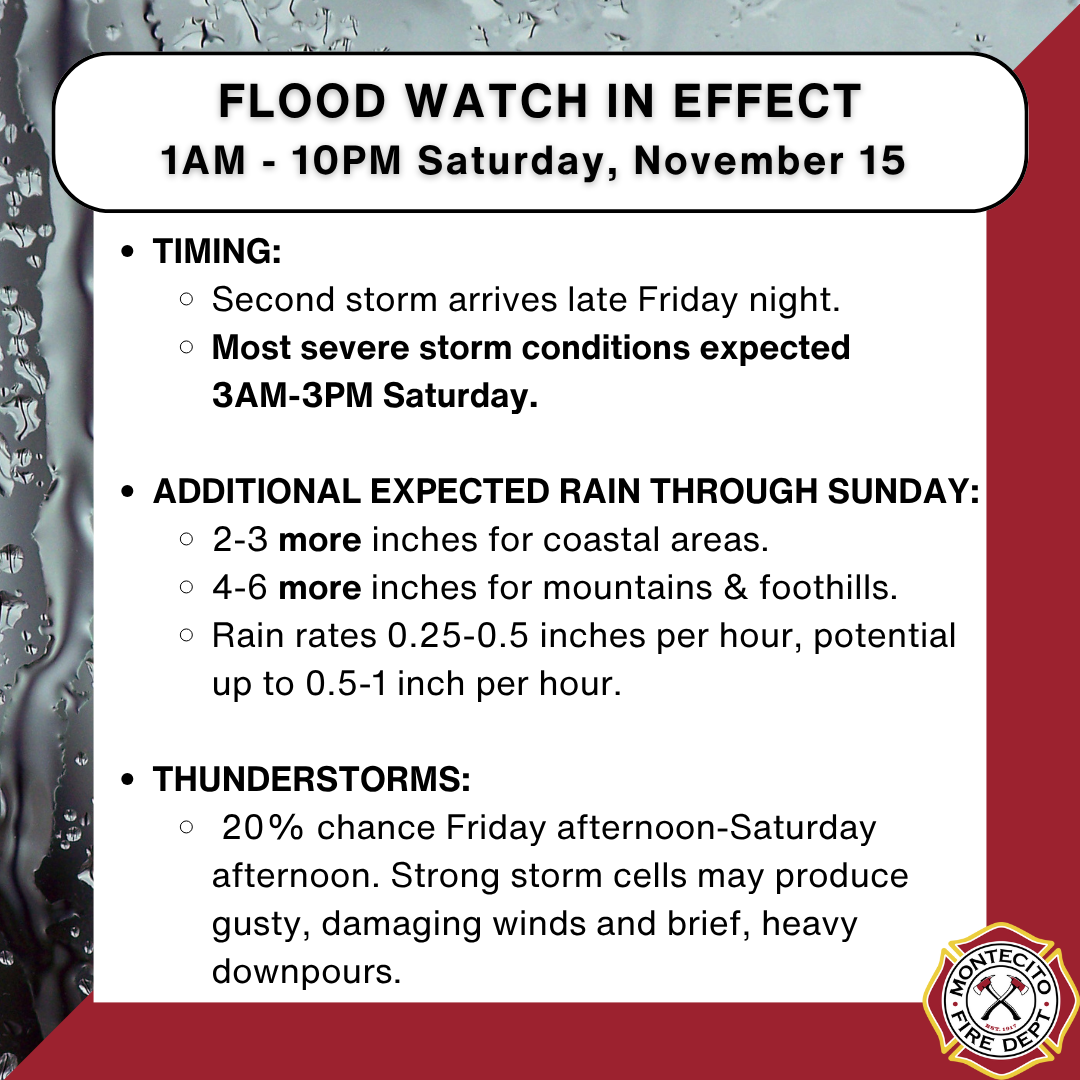
FLOOD WATCH IN EFFECT 1AM-10PM SATURDAY, NOVEMBER 15
National Weather Service: With the first part of the storm now out of this area, and a break in the significant flood threat before the second part of the storm arrives tonight, the area previously in the flood watch will now start at 1am Saturday. The end time of 10pm Saturday has not changed.
Excessive runoff may result in flooding of roads, rivers, creeks, streams, and other low-lying and flood-prone locations, including Highway 101. Rain rates up to 1 inch per hour are possible.
FORECAST DETAILS
According to the National Weather Service, rain will intensify late Friday and continue to be significant until late Saturday. The most severe storm conditions are anticipated to occur between 3 a.m. and 3 p.m. Saturday. Prepare for the possibility of flash flooding during this timeframe.
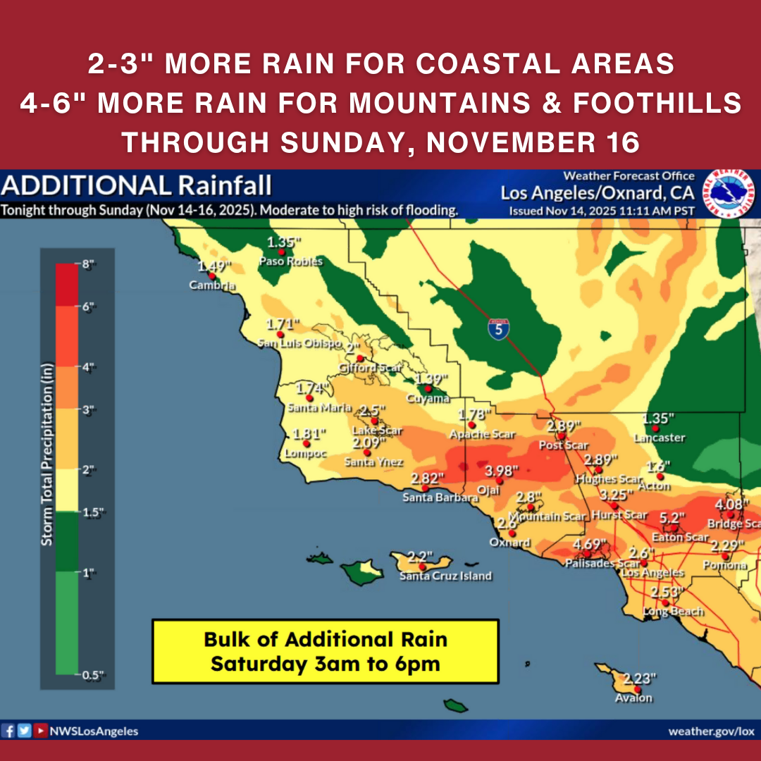
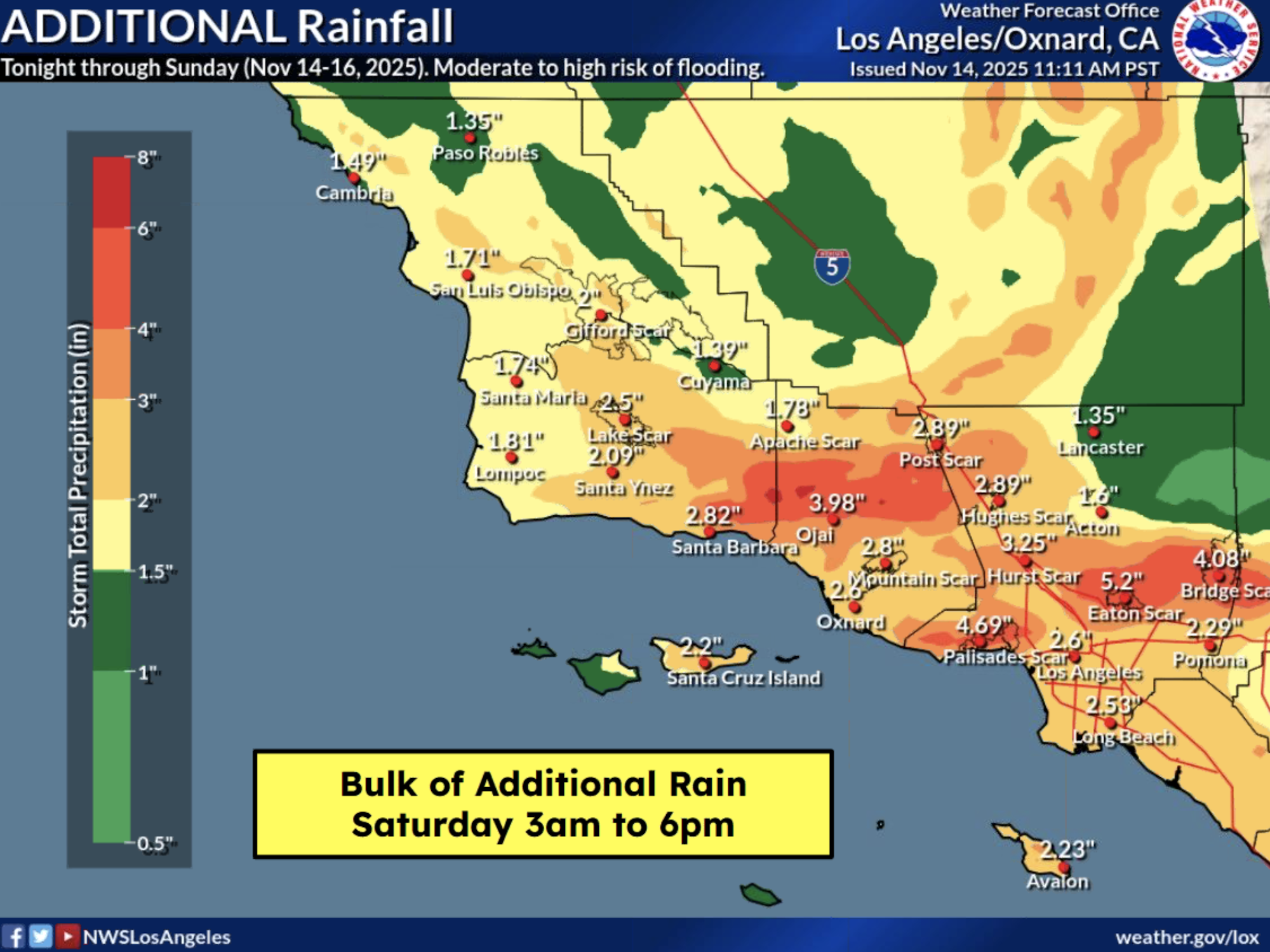
In addition to the rain our area has already received, prepare for 2-3 more inches of rain at the coast and 4-6 more inches of rain in the mountains and foothills through Sunday. Rain is expected on and off through Sunday.
Rain rates are anticipated to be generally 0.25-0.5 inches per hour, with potential for up to 0.5-1 inch per hour.
There is a 20 percent chance of thunderstorms Friday afternoon through Saturday afternoon. Lightning is not expected to occur frequently, but strong storm cells may produce gusty, damaging winds and brief, heavy downpours.
More rain is in the forecast for Monday and Thursday next week.

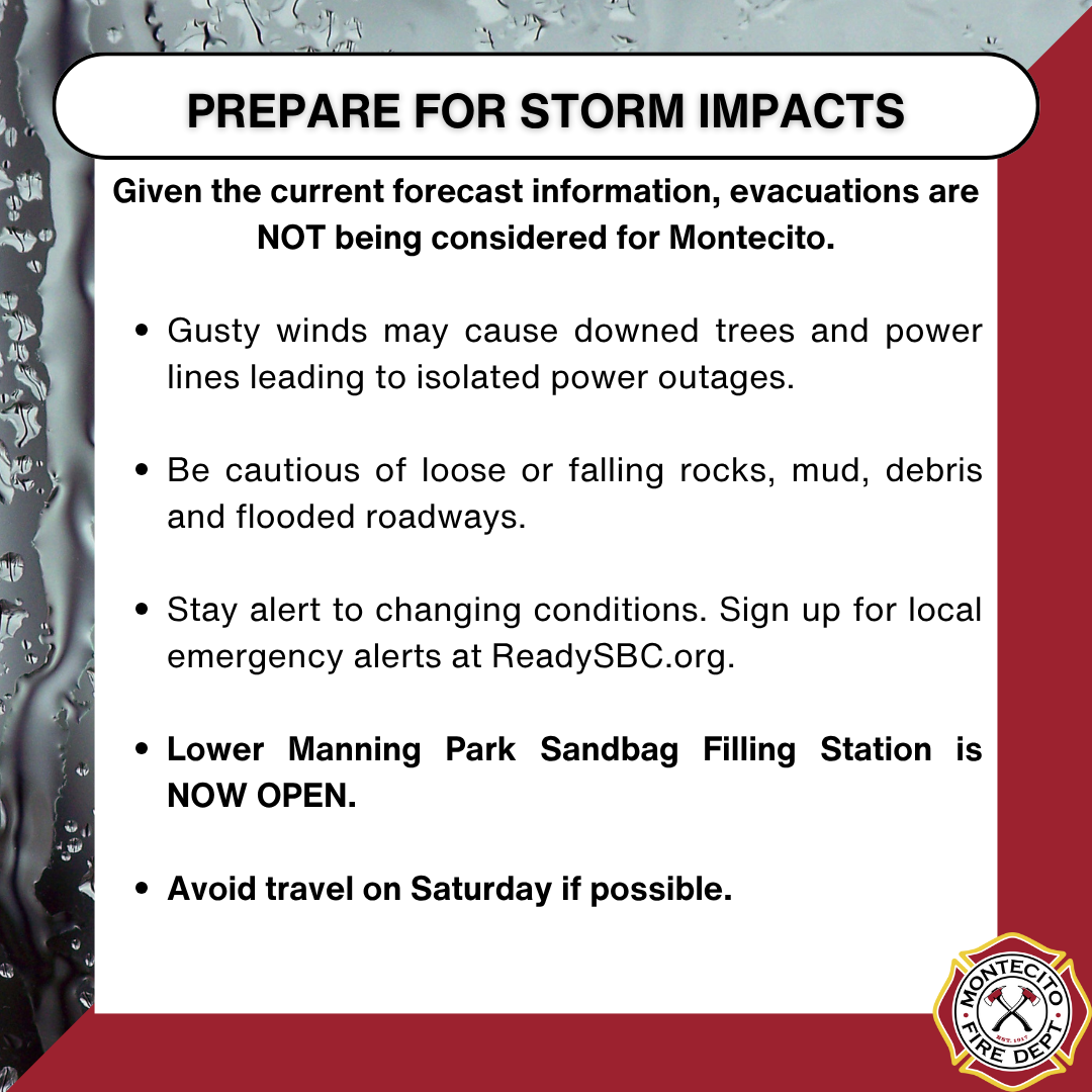
Given the current forecast information, evacuations are NOT being considered for Montecito.
Please prepare now for potential storm impacts. Gusty winds may cause downed trees and power lines, leading to isolated power outages. Be cautious of loose or falling rocks, mud, debris, and flooded roadways. If possible, avoid travel on Saturday due to hazardous storm conditions.
INFORMATION SOURCES
Listen to Montecito Fire Department’s AM1610 radio station for updates and follow @MontecitoFire on social media.
Register for ReadySBC Alerts at ReadySBC.org
SANDBAG INFORMATION
LOWER MANNING PARK: A sandbag filling station is available for community members at Lower Manning Park. Sand, burlap sandbags, and shovels are available there.
SANTA BARBARA CITY FIRE STATION 77: 2411 Stanwood Drive - sandbags, sand, and shovels are available.